A Guide To Backpacking in Alaska

If you’re here, you’re thinking about a backpacking trip in Alaska either on your own or with a guide. This guide will cover all the things you should be considering: from location to route selection to bear protocol to booking bush plane flights (or not). Even if you’re a seasoned lower 48 on-trail backpacker, heading off trail in Alaska is a whole different thing. If you’re looking to do a guided trip, reach out — we offer guided backpacking trips all over Alaska both on a scheduled and custom basis.
I’ve been exploring Alaska since 2013 — of all the places I’ve ever visited, it remains the most magical and awe inspiring. Alaska is truly a dream — the scale is unfathomable, the people few and far between, and the access to remote regions relatively easy via super competent bush plane pilots. Hopefully by the end of this post you’ll have everything you need to plan a successful and joyous trip.
This post is going to be a long one. If you’re just here for a specific piece of information, check out the headings and feel free to skip around. And if at the end you still have questions, feel free to dm me on instagram @indigo_alpine. I read every question and do my best to respond when I have wifi.
Let’s jump in…
Alaska Backpacking Season:
July though mid-August is prime time just about everywhere in Alaska. In May you’ll encounter snow at most elevations. Come mid-August winter is already starting to make itself known at higher elevations and fall is setting in at lower elevations. September is a beautiful time to be below 4000ft but be prepared for possible winter conditions.
Skills:
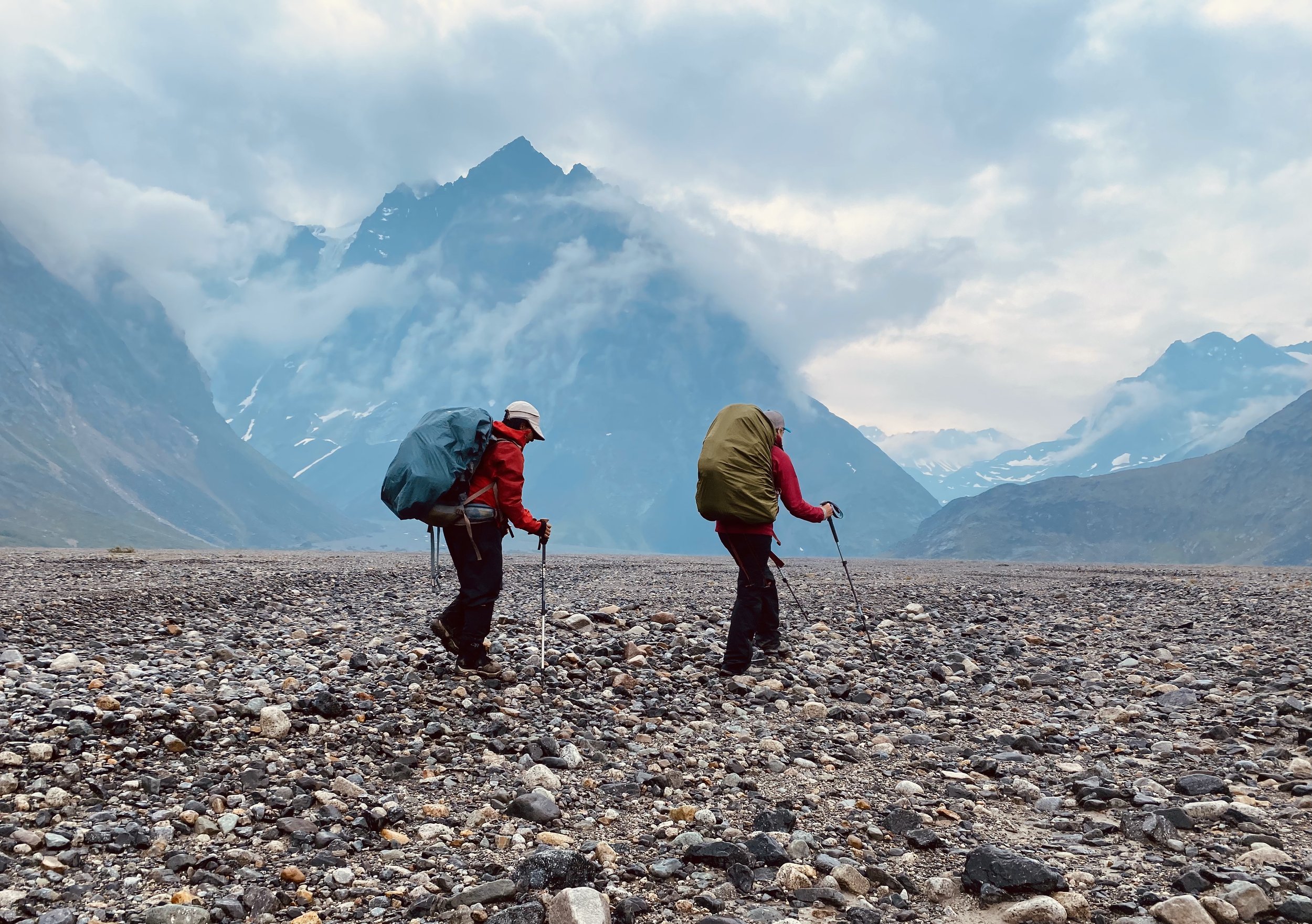
The main difference between Alaska backpacking and everywhere else is the lack of trails and the magnitude of the terrain. A backpacking trip up here is a completely different animal than 5 days on the PCT. I don’t say this to intimidate you. But you do need to be prepared or you’ll get tossed around.
Here are the most important skills you need to have for Alaska that you may not already have as an intermediate / experienced backpacker:
Competent reading and navigating via topographical maps even when there’s no trails, trail junctions, or buildings as landmarks. This includes orienting a map with and without a compass.
Competent navigating in complete whiteouts via compass and GPS (possibly for days on end).
Competent reading and assessing the risk of river crossings and understand multiple river crossing techniques.
Exceptionally dialed bear protocol techniques. A thorough understanding of how bear spray works and how to use it.
Competent navigating dry glacier and understanding and assessing hazard (for routes that require it.)

Wildlife:
For a lot of folks, when they think of Alaska they think of bears… so much so that they’re unwilling to backpack out there. Here’s the thing… I’ve encountered dozens of bears in Alaska. I once even came literally face to face with a massive brown bear while bushwhacking through dense alder. After a moment of locked eyes he turned and bolted. But the only truly scary bear encounters I’ve had have been in the lower 48 where bears are more used to humans and more used to the euphoric high of occasional high-calorie human food. So yes, AK has bears… but if you practice excellent camp management, use bear canisters, ursacks, or electric fences, and have everyone carry bears-spray, and if everyone in your group knows how to act if you encounter a bear, you should be just fine. The only time i’m on high bear alert in Alaska is when i’m bushwhacking through dense alder with a stiff breeze blowing against me. Otherwise, I travel comfortably.
Of course, there’s also all kinds of other wildlife — it’s one of the coolest parts of Alaska. Treat them with respect, dignity and space and you should be just fine. It’s nice here to note that Alaska has no poisonous snakes!
Generally Helpful Tips:
Here’s some general tips to consider in no particular order…
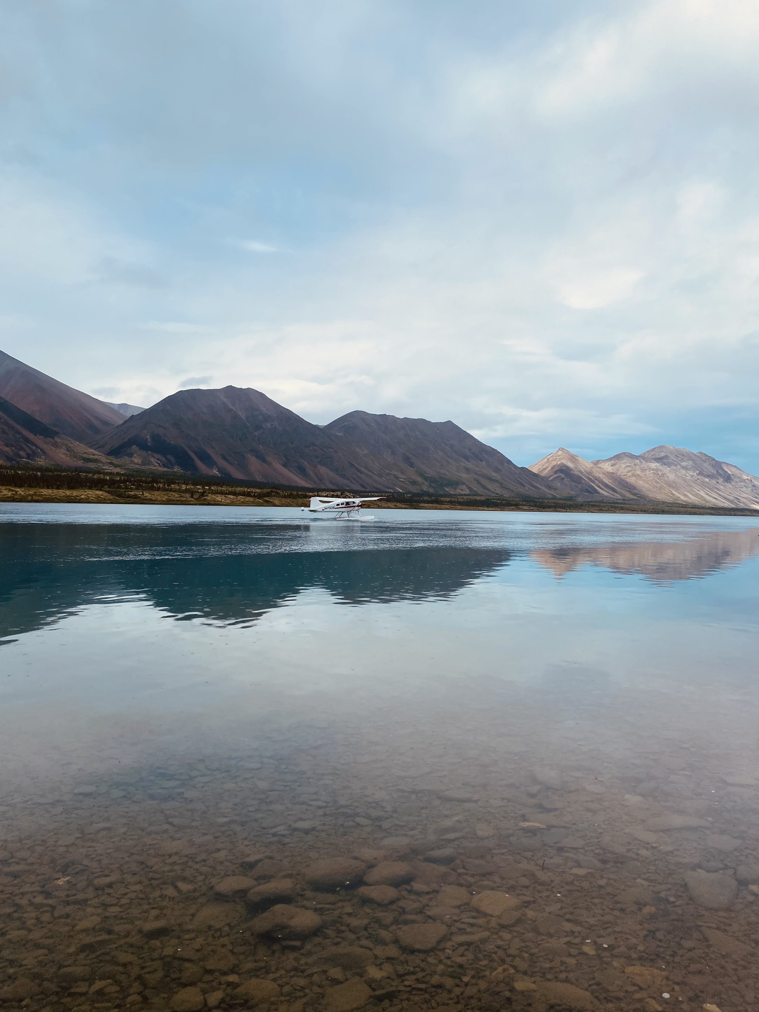
Fly in Hike out: You definitely don’t need to use a bush plane for your backpacking trip in Alaska. There are plenty of options for road access. That being said, if you’ve never flown through Alaskan mountain in a bush plane you’re missing something incredible. But bush plane flights in Alaska can be on par price wise with international flights on big airlines. One good option to experience the thrill but cut cost is to pick a route where you hike in and fly out or vice versa. This can give you the experience of flying without breaking the bank.
Bear cans for free from NPS: Don’t want to fly with your bear canister or don’t have one? Most NPS ranger offices will rent them to you for free.
InReachs: InReachs have changed the game in the last few years. They’re awesome for any trip, but for fly-in trips they’re nearly essential. Sure, I’ve done trips without the capacity to talk to the pilot and make adjustments to the itinerary, but you’re leaving a lot up to chance and it’s more stressful. For the remoteness of Alaska, you should at bare minimum have a Personal Locator Beacon — but these are much less versatile than something with actual two way communication capabilities.
Choose your zone
Denali National Park
Home to Denali aka Mt. McKinley standing tall at 20,310 feet. This place is where most people’s minds go when they think Alaska. The park can definitely get crowded with tourists, but the second you step foot off the main park road you’ll most likely be alone for the duration of your trip. Denali has everything from boggy tundra to massive glaciers and the weather can be wild and changeable. If you’ve never backpacked off trail, this can be an intimidating place to start.
In Denali NP you really have two main option for where to go: the North side and the South side.
The North Side
The North side is where nearly everyone goes when they visit Denali and is accessed by the 100 mile long Park road (you can’t fly into the backcountry). Most of the season, this road can only be accessed via public bus (private cars aren’t allowed). Even more exciting: you can only reserve backpacking permits a day in advance and permits are offered on a first come first serve basis, so when you show up at the backcountry office you should be prepared for anything. Thankfully, the folks at the office are incredibly helpful and will be able to offer lots of ideas with the zones that are available. But don’t show up with a set route and expect you’ll be able to follow your itinerary as planned — it’s very possible your intended itinerary won’t be available in part or in whole.
Basically the North side is split into travel zones and each zone has a max number of people who can camp there in any given night. If you’re set on a particular route — you might well be able to complete it as long as you are willing to adjust your daily mileage to pass through zones that are fully reserved and camp in zones where permits are available at the time of booking.
For some people this process is intimidating and annoying, but I think it’s a special piece of the adventure. How often do you show up to a backpacking trip really without any surety of where you’re going to go?
Anderson Pass And McGonagal Pass are notable standouts in the park, but really, the whole place is beautiful so I’d encourage you to just go and find out. My one word of warning: the lowlands (and even a lot of the midlands) in Denali are boggy tundra that is downright exhausting to walk on. On one trip my achilles tendons became wildly inflamed because they were being repeatedly hyperextended by the bog. So my recommendation is to just show up and see what’s available but do your best to get above the tundra and stay above the tundra. Because the park bus will pick you up anywhere along the park road and because it runs regularly in the summer, you can easily plan to start your trip at one location and end it at another and this is definitely what I’d recommend.
The South Side
The South Side of Denali is a whole other ball game for backpacking. Generally, very few non-guided parties go backpacking in this side of the park because the terrain is massive and, other than a 3 week walk in through alder, is only accessed via bush plane landing either in the Dutch Hills, on snow covered glacier, or on the Whale’s Tail. The Dutch Hills are foothills of the Alaska Range and could offer an incredible trip — but you won’t really feel immersed in the big mountains in the way that you do on the North Side or on The Whale’s Tail. Landing on glacier is great — but requires you to bring and know how to use mountaineering gear. Things get heavy fast with this approach. The Whale’s Tail is definitely the most epic backpacking you can do in Denali and one of the most incredible trips in Alaska — but you’re unlikely to convince an air service to fly you in unguided. If you’re interested in this area, we offer one or two guided trips to the Whale’s Tail each year and custom trips for groups of 4 or more.
Getting There:
Take the park bus. Get off anywhere along the way based on your route.
Talkeetna Air Taxi and K2 Aviation can land on just about any snow covered glacier out there conditions permitting.
Sheldon Air Service can get you into the Dutch Hills and surrounding areas.
Permits: Denali National Park Ranger Station in Healy or Talkeetna. Learn more here.
Popular Known Routes: Anderson Pass
Helpful Tips: The more you can stay above the boggy tundra the better.
Lake Clark National Park

Lake Clark is the least visited national park in America… only because it’s really hard and expensive to get there. So few people go out into the wilderness of Lake Clark there’s endless opportunity to have massive country entirely to yourself. The vast majority of folks travel between Turquoise Lake and Twin Lake, with some folks venturing further north to Telaquana Lake. Maybe 1 or 2 % of people venture out to explore other parts of LCNP like the Revelation and Neacola Mountains. The relatively low elevations by Alaska standards (high points around 9000ft) mean a longer season and the possibility of connecting long routes by traveling over dry glaciers (glaciers without snow on them). We offer scheduled and custom guided backpacking trips from Telaquana to Twin Lake and throughout LCNP each year.
Getting There: Take a chartered flight with either Lake Clark Air or Lake and Pen Air to Port Alsworth. Then hop on a float plane with The Farm Lodge to the lake of your choice.
Permits: none needed.
Popular Known Routes: Turquoise to Twin Lake
Helpful Tips: Definitely ask your pilot for any info on game trails from the lakes into the higher country. Telaquana, Turquoise and Twin lakes (as well as many others in the park) are below treeline. Knowing where the game trails through the trees are can save you a world of hurt.
Consider staying at The Farm Lodge or the Windsong Wilderness Retreat while you’re out there.
One Man’s Wilderness about Dick Proeneke is a wild insight into Lake Clark homesteading
The LCNP visitor center in Port Alsworth will rent you bear canisters for free. You can reliably buy fuel and bear spray from the Farm Lodge in Port Alsworth.
Wrangell-St. Elias National Park

Traverse through a vast expanse of ice and rock, where grandeur meets solitude. The Wrangell-St. Elias is the largest protected wilderness in the world.
I’ll be honest: I love these mountains maybe more than any in the whole world. The Wrangells are deeply awe inspiring — but they’ve also been recently discovered in a big way by backpackers so you’ll have to book bush flights early to get a seat. If I might hop on a soap box for a brief moment: if you’re brand new to backpacking, consider going with a guide or going for your first backpacking trips in the lower 48 on established trail networks. When you come to AK, come for the massive untold adventure. Sadly, some parts of the Wrangells have made a big internet name for themselves and now get swarms of fly-in backpackers each year. Alpine wilderness lakes are turning into tent cities. In a wilderness as big as that one, there’s really no need to go where the internet mentions. Talk to your pilot, ask them where they would go with your time window and go there. Or unfold a map and find what feels most compelling to you. I dare you — if you have the skills, this is undoubtedly the way to have a magical and wild experience.
Getting There: You’ve got a few options…
Most people start their trips with a bush plane flight in from Nabesna or Kennicot /McCarthy
Nabesna: Drive to Nabesna. If flying in, park at (and consider staying at!) Devil’s Mountain Lodge. If backpacking straight from the car, park in the public lot 1/4 mile past Devil’s Mountain Lodge.
McCarthy: Drive to McCarthy on the famous McCarthy Road, or Fly to McCarthy all the way from Anchorage or from Chitna. Wrangell Mountain Air offers daily flights from China to McCarthy. The flights are beautiful and save you the long dusty drive. Fly from McCarthy into the mountains with Wrangell Mountain Air or Paul Claus from Ultima Thule Lodge.
Permits: none needed.
Popular Known Routes: The Goat Trail, Iceberg lake, Donoho Pass. The NPS has done an excellent job outlining some of the more established routes here.
Helpful Tips:
Nabesna and McCarhthy are both really well suited for trips where you fly in and hike out.
Consider a stay in McCarthy. It’s a cool town if a bit touristy.
If planning on flying to McCarthy from Alaska, make sure you book flights early — these flights usually only operate once or twice a week and only during peak season.
Gates of the Arctic National Park

Gates of the Arctic is as magnificent as it sounds. In some ways, the peaks up here are less dramatic than those of Denali or the Wrangells, but the atmosphere is buzzing with a certain grandeur of the far north arctic circle. While the Arrigetch Peaks get the majority of the attention, a quick peek at the map will show hundreds of intriguing possibilities. Gates of the Arctic is particularly well suited for river trips with hikes on the side — you can go for a long trip that way and explore to your heart’s content without having to worry about restocking supplies.
Getting There: Fly from Fairbanks to Bettles. From Bettles, you can get a float plane to one of the many lakes to start your adventure.
Permits: none needed
Popular Known Routes: Arrigetch Peaks base camp
Helpful Tips: The bugs up here can be particularly brutal. Consider bringing a cook tarp with bug netting to get some reprieve.
If you poke around, you’ll find there’s a few backcountry lodges / cabins located in the National Park. These could be nice way to break up the ruggedness of your trip.
The Chugach Mountains

Experience the best of Alaskan wilderness near Anchorage, from glaciated peaks to pristine lakes.
The Chugach range aren’t as high as the Alaska Range, but wow do they pack a massive snow-filled punch. Finding a route that is below snowline but above shwackline can be challenging — but if you find it, you will be well rewarded with remote beauty. Considering Anchorage sits at the base of the Chugach, it’s entirely possible to start an epic trip in these mountains with little more than an Uber ride. Consider starting out of Girdwood or the Matanuska Glacier or flying in Merrill Field in Anchorage.
Getting There:
Hike in from any number of trailheads close to Anchorage.
Fly in with Blue Ice Aviation from The Matanuska Glacier.
Permits: none needed.
Popular Known Routes: Crow Pass, Scandinavian Peaks
Helpful Tips:
Even for Alaska, the Chugach can be shwacky… very schwacky. It’s definitely worth doing you research and finding a route that can avoid some of this. Talk to your pilot, hop on google earth, travel on glaciers, stay high.
A Bonus: Kesugi Ridge Trail

If you’re really committed to backpacking in Alaska, but don’t feel comfortable navigating off trail and don’t want to hire a guide, the Kesugi Ridge Trail is a great option. If you’re lucky, you’ll get incredible views of Denali and the Alaska Range, albeit from very far away.
You could spend 100 Lifetimes… Alaska is huge, below are some other spots to consider. Or better yet, just look at a map of the state and see what looks most compelling. Often times the greatest rewards come from trips you build without too much external input.
Kenai Fjords, Katmai National park, Kobuk Valley National Park, Arctic National Wildlife Refuge, Aniakchak National Monument, Aleutian Islands.
Route Planning

Planning routes in Alaska can be a challenge. There are few guidebooks and not that much online. Below are some helpful strategies.
Internet Sleuthing:
Once you’ve picked a zone, where do you go from there? If you’re keen on getting ideas from what people have done before, check out google. More specifically, poke around message boards, check out reddit, look for guide company itineraries, and, use Cal Topo or Gaia. To use Cal Topo — type in the location name and Cal Topo into Google — people’s public routes will show up in the search results. For instance, a quick search of “Wrangells Cal Topo” into google, comes up with this first link offering lots of route ideas. It’s important to note that it can often be challenging to differentiate whether the line on Caltopo was recorded by someone in the field, or drawn in from a computer — just because you find it on Cal Topo or Gaia, doesn’t mean the route goes, and / or doesn’t mean that the person who made the route has way more experience than you do to make that route work reasonably safely. But it’s a great place to get ideas.
Bush Plane Pilots
If you’re planning on using a bush plane service — your pilots can be incredible resources for route planning. Alaska Bush plane pilots are legendary. The ones who have been flying for a long time like Paul Roderick or Paul Claus know the Alaska backcountry more than anyone. If you’re kind, humble and inquisitive, they might just share some gems with you. I truly think the coolest way to run a personal backpacking trip is to tell your pilot how many miles you’d like to do, and then have them pick the route for you based off what they’re most keen on. At the minimum though, they can give you insight into where existing airstrips are or where they can land more generally (gravel bars, relatively flat pieces of tundra, lakes, certain sections of glacier, etc.)
Paper Maps, Electronic Maps, and Google Earth
There’s a ton of technology out there these days that makes planning routes in the backcountry way easier. But it’s a bit of an aesthetic choice whether you use any of it. Some might argue there’s more adventure to be had just in the paper maps. I don’t disagree. But I also find that these days I’m more out there for the beauty and wildness than for the macro route finding. So for almost all my trips, I go through a process of route planning before hand, so that in the field I really just have to follow the route on my phone that I drew in from the comfort of home.
This option has a few major benefits: less time spent getting lost, less time trying to cross passes that are actually uncrossable, and no stress navigating in whiteouts or low visibility. I’ll never forget a 35 day trip I guided in the Wrangells in 2016 (before I regularly used technology for route planning). It was our last day of a long and grueling itinerary. We were tired and out of fuel and pretty ravenous overall… after that many days in the field your body just can’t possibly eat enough to stay full. We were 2 miles from our pickup, but as we crested the pass we encountered a 15ft cliff band guarding the entire valley. Topo lines are usually 20ft, 40ft, or 100ft increments. Our maps were 40ft increments, just big enough to entirely miss the cliff band. What looked like a passable route simply wasn’t and we ended up adding 20 miles to our trip to work around the impassable valley. So. Technology is cool.
These days, I’ll lay out a big overview map (Ideally one from Nat Geo). From there I’ll figure out my possible access and exit points either from existing markers on the maps, from Cal Topo, or from talking with the pilots, and then i’ll draw out a compelling route. Then, I’ll hop on Google Earth and fly through that route to see what it looks like and find any places where the route might not go or where there’s a better option. Once I’ve dialed in my route, I’ll upload all that info into Gaia and use my phone for navigation. I’ll bring a big scale overview map just in case my phone dies, but not the zoomed in quadrant maps.
A few notes to consider:
Bush planes can land in way more places than marked airstrips. Just because you don’t see an airstrip on the map doesn’t mean you can’t enter or exit via plane close by.
Alaskan rivers are big and powerful. Don’t underestimate them. You may need to hike many miles up river before a waterway becomes crossable — and even then, you may need to wait till the early morning or may not be able to cross at all. Some routes require a packrat to make crossings possible. Plan your routes humbly when it comes to river crossings.
Glaciers provide highways through the mountains. If you’ve never travelled on dry glacier before, a wilderness trip may not be the best time to learn. But if you have some experience, consider bringing along a pair of micro spikes and traveling the glaciers. It’s important to note that you can safely travel on dry glacier (glacier ice without snow on top) without a rope. Traveling on snow covered glacier without a full mountaineering setup and crevasse rescue gear is fairly foolish and should be avoided.
For trips longer than 10 days, consider leaving a re-ration of food, fuel, and fresh socks with the bush pilot. They can bring your re-ration to a landing spot along your route.
Gear for Alaska Backpacking
Pack Smart and Light: In Alaska as anywhere, your gear choices can make or break your expedition.This post isn’t meant to be an exhaustive intro to backpacking, so what follows is just some Alaska specific gear advice in no particular order:
Always line your backpack with a trash bag or better yet get a waterproof backpack (I use the Hyperlite Porter 4400 for everything) and line it with a trash bag. Rain covers are fairly useless while bushwhacking through alder. While you’re at it, make sure you sleeping bag is in a waterproof compression sack… I like the eVent ones.
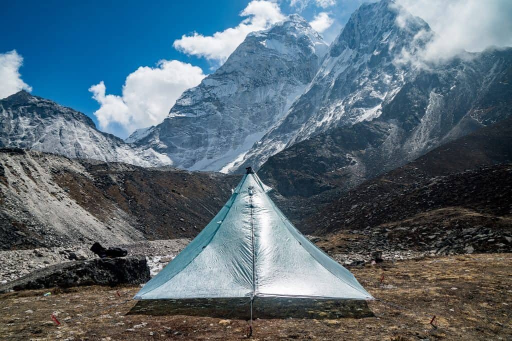
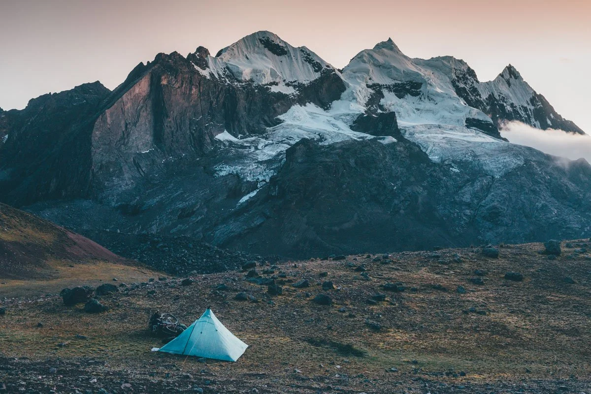
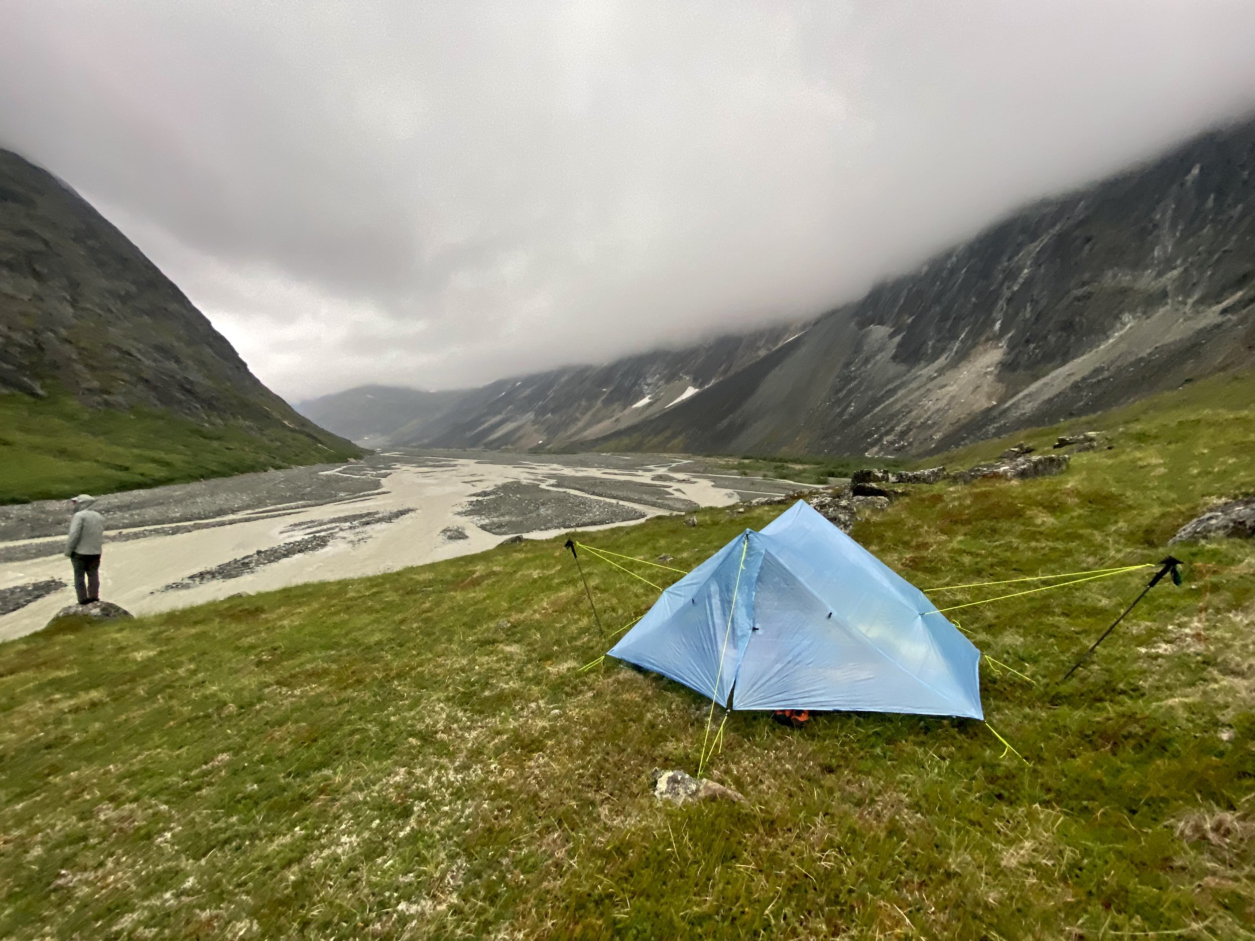
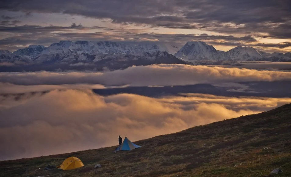
Shelter System: Opt for a lightweight tent or tarp setup that provides excellent protection without sacrificing comfort. Bug netting is a must. It can rain for a month straight. It can snow almost anytime in the summer. You don’t need a 4 season tent, but make sure it can withstand some snow.
Insulation: I use synthetic everything. The only place I’ll risk down is in my sleeping bag and maybe in a big puffy parka. I’ve had trips where it rained 12 days straight… if you have down jackets there’s almost no way you’re keeping them dry. And of course, no cotton.
Socks: Many pairs of wool socks. I like to have 1 or even 2 pairs stashed away in tied plastic bags to pull out as the trip progresses. I’ll also often bring neoprene socks because realistically, your feet often stay wet for long periods of time.
Rain Gear: If you’re going to get one thing right, make it this. Good rain gear is an absolute must. Ultralight rain pants will likely get torn to shreds, bring something durable. I also swear by an umbrella for non bushwhack days where it’s misting and you’re moving… it will keep you drier than a rain jacket can.
Navigation: Carry topographic maps, a compass, and a GPS device to navigate accurately. I use my phone with Gaia for my navigation. On Airplane Mode and Low Battery mode my iPhone 11 lasts around 6 days on a single charge. I bring a small battery pack to recharge as needed. I wouldn’t rely on solar panels. My Inreach acts as a backup GPS should my phone die or break.
You can bring a headlamp for reading, but you don’t really need one June - August as there’s 24 hour light.
Bear Safety: Prioritize bear safety by carrying bear spray (1 per person), a bear canister for food storage, and knowledge of proper bear encounter protocols. Bear bells are annoying and mostly ineffective.
Water Treatment: In Alaska, as long as I’m not in one of the few well-travelled areas, I’ll drink straight from the streams without any purification. Otherwise I bring a Steri-pen.
Essentials Kit: Pack a comprehensive first aid kit, repair supplies, multi-tool. Be prepared for things to go wrong. It’s not like the lower 48. A rescue could take a week to 10 days if you’re unlucky. Even if nothing goes wrong, the plane pickup might still be delayed a few days if the weather doesn’t allow them to fly.
A quick word on Leave No Trace
Get familiar with Leave No Trace principles and practice them! Of particular note: in groups of 4 or more, walk spread out, not in a single-file line — we don’t want to make trails everywhere we walk.
Most people think of Alaska as a super-saturated rainforest. That is increasingly untrue. Be really careful with fires — Alaska is starting to see a ferocious summer fire season.
In Conclusion…
Alaska is incredible. With a bit of preparation, and a bit of good-spirited tenacity you’ll have a memorable and magical trip. It’s not for everyone: there will most certainly be some miles of dense alder stumbling, some days of gnarly mosquitos, and maybe a few days of downpour.. but there will also be massive glaciated peaks, unbelievable river gorges, dense wildlife, and the whole place largely to yourself. If it’s your first trip off trail, start with low mileage days as you get aquatinted with what the travel feels like. If you’re an experienced backpacker… there’s no better place on earth to explore.
If you’d like a guided or instructed trip, reach out. Whether it’s Denali’s Whale’s Tail, Lake Clark, or some remote place you’d love to explore with a bit of professional help, we can make it happen.
If you go on a trip, let me know about it (dm me on instagram @indigo_alpine)! I always love hearing about people’s adventures.